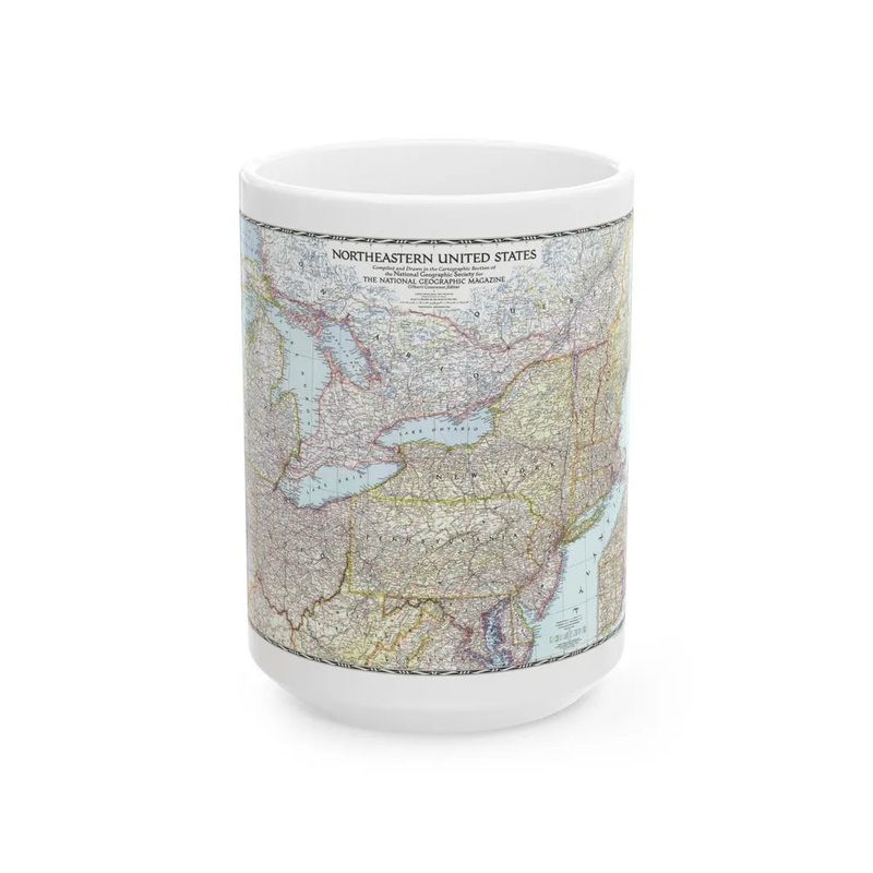
The item titled "USA - Northeastern (1945) (Map)" represents a historical cartographic depiction of the northeastern United States from 1945. This map provides geographical details and outlines political boundaries, cities, roads, waterways, and other significant features in this region during that specific year. The map serves as a valuable resource for understanding the spatial configuration of the northeastern US at a particular point in time, contributing to historical, geographical, or educational studies.
Express delivery and return policies
Free shipping on orders over $30
Processing time: 1-2 Days
Shipping time: 3-5 Days(According to the logistics method and delivery address)
Items can be returned or exchanged within 30 days !